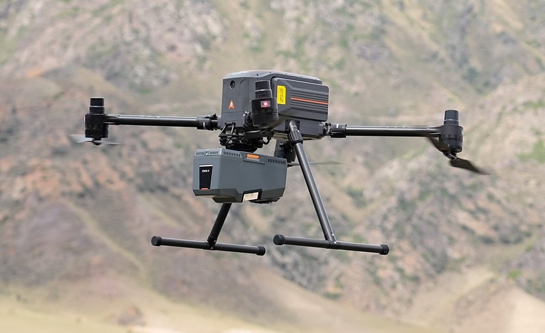
Global geospatial solutions provider CHC Navigation has launched the AlphaAir 15 Pro, a premium airborne LiDAR system developed for large-scale geospatial mapping and high-density point cloud...
Global geospatial solutions provider CHC Navigation has launched the AlphaAir 15 Pro, a premium airborne LiDAR system developed for large-scale geospatial mapping and high-density point cloud...